Archive for June 11th, 2018
stinking ossuaries
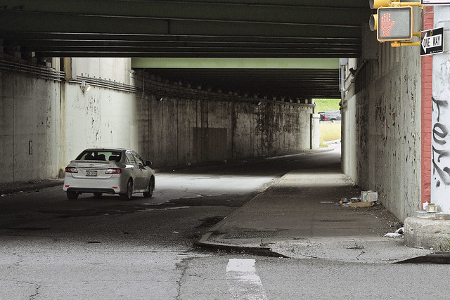
Scuttling, always scuttling.
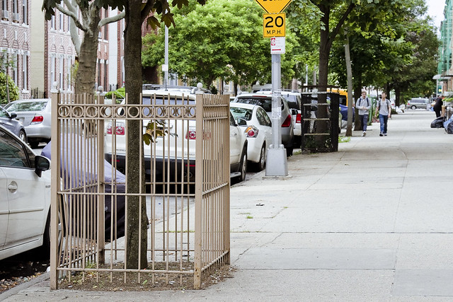
– photo by Mitch Waxman
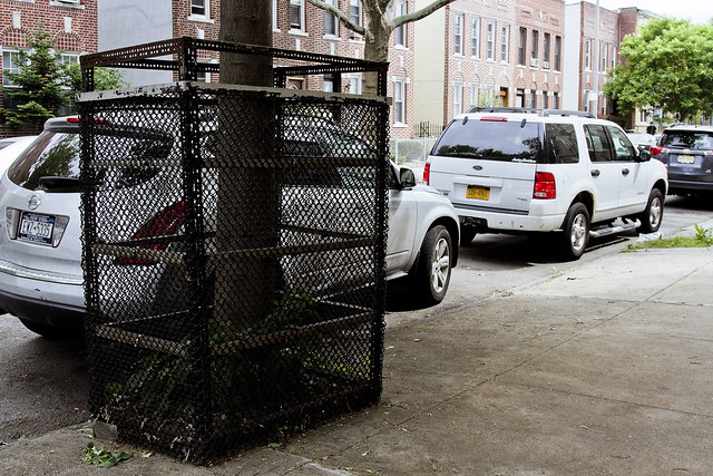
Whenever I mention the 1980’s to those who grew up in Long Island City and Astoria, a shudder seems to go through them. I’ve always wondered if that shudder has anything to do with why all the trees are in cages.
I’ve asked a few of the lifers, but boiling down the answers offered by them reveals one singular truth, which is simply expressed by describing the Croatian people as being remarkably tight lipped. There’s some gesturing involved in their answers, and sometimes a few words in a language which I can never understand (I’ve tried). Regardless, something motivated several of them to build iron cages for the street trees around here. I’ve learned to just accept things over the years which I’ve dwelt here in Astoria, Queens.
Such is my lot.
– photo by Mitch Waxman
One is in a weird place, in terms of his mood. Feeling increasingly obsequious, and often wondering who the old fellow staring back at me from the bathroom mirror is, a humble narrator nevertheless sallies forth. Like the trees here in Astoria, there are iron bars and fences all around me. Often it feels as if one is juggling chain saws, and that one slip up will result in disaster. The whole “angry young man” thing is no longer a valid posture, as I’ve instead found myself cast as a broken old man. Such is the wheel of life, however, and there’s no point in moaning about it.
There are still battles to fight, and wars to win.
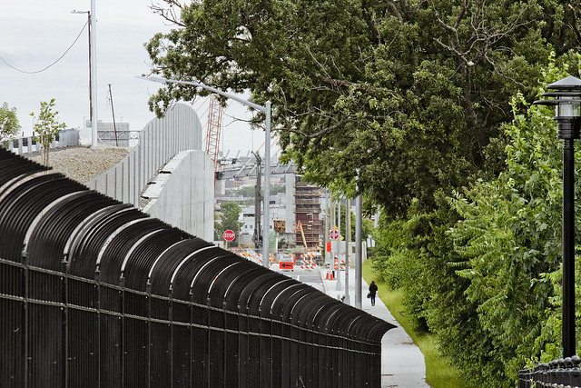
– photo by Mitch Waxman
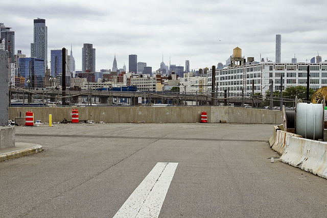
Speaking of, that’s the Sunnyside Yards (est. 1909) pictured above. The shots in today’s post, from this point onward, were all captured along 43rd street while walking south. 43rd street, once you cross Northern Blvd. from the blessed rolling hills of almond eyed Astoria, used to be called Laurel Hill Blvd. It connected the eastern side of LIC’s Blissville over by Newtown Creek and Calvary Cemetery with Middleburgh, which modernity calls Sunnyside. That was before the Long Island Expressway and the Brooklyn Queens Expressway, and even before Queens Blvd. and the IRT Flushing Line were created in the 20th century.
Referring to old maps of Western Queens requires the usage of three distinct sets of documents, as they’ve (a shadowy cabal, probably) renamed and reoriented the streets so many times in Queens that it’s confusing as all get out figuring out what something used to be called. There’s a few “landmark” lanes which you can use to figure out relative positioning, like Jackson Avenue or Steinway Street, but even then…
– photo by Mitch Waxman
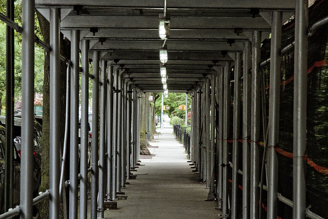
43rd street, as a pathway to Newtown Creek, has been off my radar for the last few years due to the Koscisuzcko Bridge construction project. Just this last winter, the newly rebuilt pedestrian bridge spanning the onramp to the BQE from the LIE was opened. It replaced an older iteration as part of the bridge project, and I’m in the process of reinstalling this pathway as part of my mental map for “where do I want to go today” usage.
The scaffolding in the shot above obscures the Celtic Park apartment complex, so named for a former beer garden and complex of athletic fields which the development is named for. The Celtic Park, as it was known, was designed and situated to take advantage of the huge numbers of Irish Catholic New Yorkers who came to Queens to visit loved ones in the various properties maintained by Calvary Cemetery found nearby in Blissville and Woodside.
– photo by Mitch Waxman
One improvement which hasn’t occurred, and I plan on getting after the K-Bridge team about it next time I see them, is the approach to the pedestrian and bicycle bridge that joins 43rd street with the stubby three block stretch of Laurel Hill Blvd. found on the south side of the LIE. The trestle seen above carries the Long Island Expressway, and acts as a seldom mentioned approach to the BQE and Koscisuzcko Bridge itself.
It’s fairly terrifying walking along this stretch of sidewalk, with traffic ramping up to highway speeds alongside of you. A series of jersey barriers would cheaply and effectively address the issue. I’m on it, don’t worry.
– photo by Mitch Waxman
Aforementioned, that’s the extant section of Laurel Hill Blvd. mentioned above. To the west (or right) is Blissville’s Calvary Cemetery, to the east (or left) is the BQE and industrial Maspeth. This is also more or less the legal border which once existed between the independent municipalities of Long Island City and Newtown, prior to the consolidation of the City of Greater New York.
Tomorrow – so, what’s going on with the Kosciuszcko Bridge project?
“follow” me on Twitter- @newtownpentacle


